Google (News  - Alert) has been making headlines for a lot of its services these days, including its Android operating system, tweaks to its search engine and the closing down of Google Reader. On the flip side, the company doesn’t seem to make much noise at all when it comes to one of the services that helped vault it into the public spotlight.
Google Maps has been one of the most accurate and detailed GPS location services in the world for more than a decade now. The company recently announced that it has updated its map imagery with images that come straight from NASA’s Landsat 7 satellite.
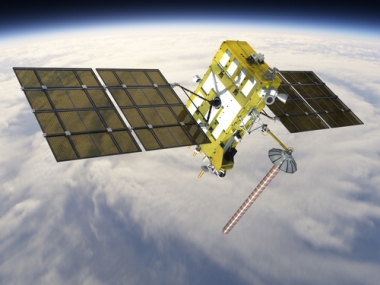
Image via Shutterstock
The Internet giant claims that by using these images, Google Maps is offering up a world that is almost completely “cloud free.” The company also said that offering up this update means the pictures in general are quite a bit more detailed. These new images will allow the company to basically splice together photos so that even areas of the world that might be covered by clouds in one shot will be cloud free in the finished product. When comparing old photos that were used by the service, the sharpness and clarity is noticeable.
The company said that it also spliced out black bars that appeared in some of the new images because of a glitch in Landsat. The new images capture the way the world has changed over time, showing more agricultural growth in some areas, and progressive deforestation in others.
Google has long had a policy of relying on multiple U.S. satellites in order to gather its data. The Landsat 8, which was launched earlier this year, will be used later in 2013 and into 2014, but the company has not said whether or not any of the photos it used in its latest update actually came from that particular satellite.
Edited by Alisen Downey
 Internet Telephony Magazine
Click here to read latest issue
Internet Telephony Magazine
Click here to read latest issue CUSTOMER
  Cloud Computing Magazine
Click here to read latest issue
Cloud Computing Magazine
Click here to read latest issue IoT EVOLUTION MAGAZINE


